14.05.23
Kawakawa Hut – Mangatoetoe village : 10.9km
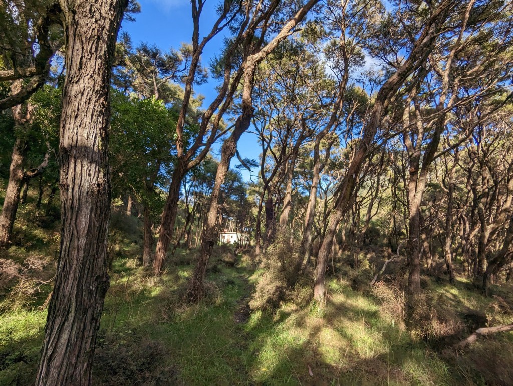
On commence aujourd’hui par remonter le cours d’une rivière. Le sentier est plutôt facile et relativement plat jusqu’à ce qu’on se retrouve face à un énorme glissement de terrain au travers de la rivière…
On galère un moment à trouver un passage et on manque presque de faire fausse route. Finalement, on remarque par hasard une vieille corde couverte de boue attachée à un arbre qui semble indiquer la route à suivre. Heureusement qu’il y a cette corde d’ailleurs car le sentier est presque à la verticale. Une fois le bout de corde passé, ça continue à monter sévère tout droit dans une pente de terre. On est bien content qu’il ne pleuve pas et quelle soit sèche car, purée, ça aurait été la merde…
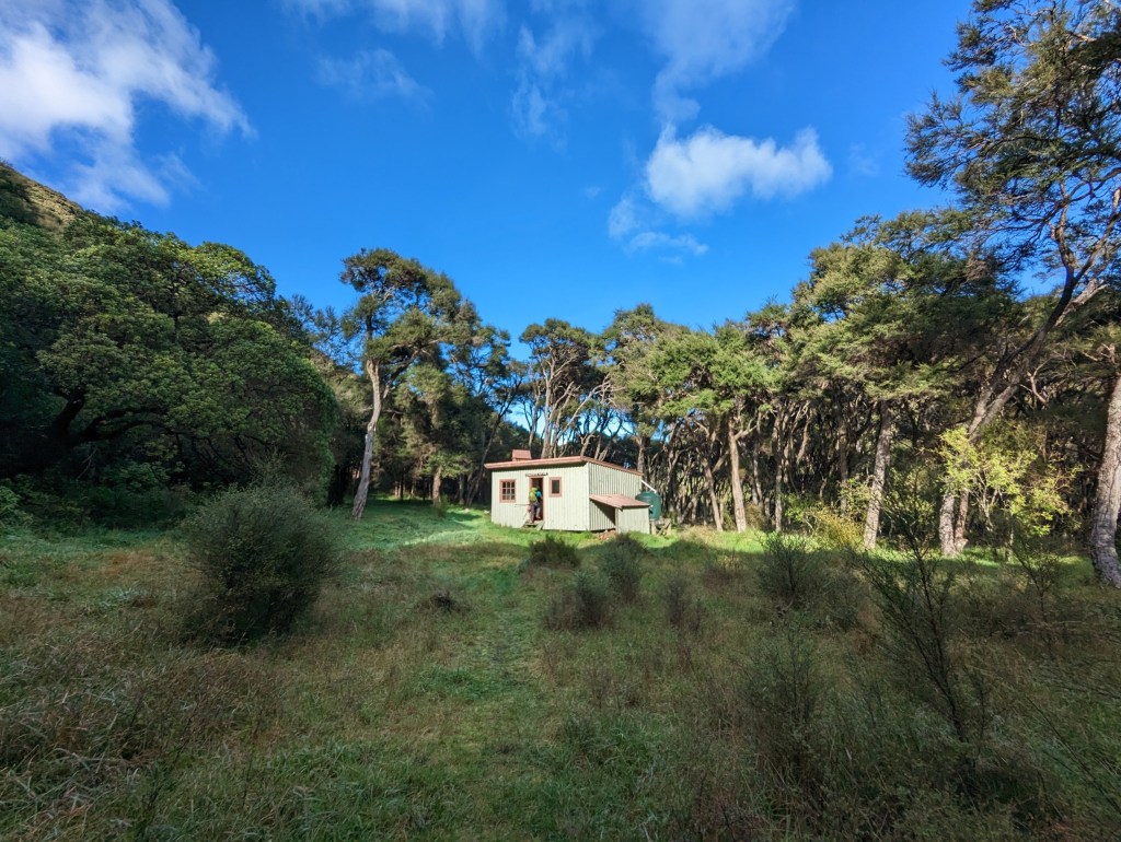
Mais finalement on en arrive à bout et le chemin tourne enfin pour nous faire longer la montagne. A partir de là, ça devient de la rigolade et on descent on redescend gentiment de l’autre coté d’un col jusqu’à atteindre la dernière hut de la traversée : Mangatoetoe Hut. On y reste que 5 minutes car il est encore tôt et qu’on a hâte de terminer cette petite aventure.
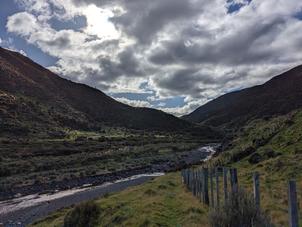
Mais un dernier “obstacle” nous attend. Nous avons encore une fois une rivière à suivre mais cette fois-ci sont lit est très vaste et plat donc pas trop d’efforts à faire. Si ce n’est qu’on est toujours pas motivé à mouiller nos pieds alors on en vient parfois à lancer des rochers pour nous créer des marches hahaha. Mais ça fonctionne très bien !
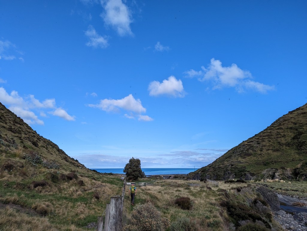
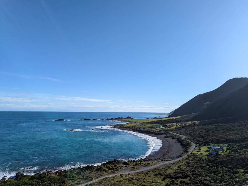
Un peu moins de 4 heures après avoir commencé à marcher, nous arrivons enfin à la route longeant la côte de l’ile. De là, on se lance dans la marche de retour en direction de la voiture. Il y a techniquement une bonne vingtaine de kilomètres mais on espère être pris en stop avant d’avoir à marcher tout ça. D’ailleurs, dès qu’on arrive sur la route, on voit pas loin deux pêcheurs en train de ranger leur voiture alors on croise les doigts pour qu’ils aillent dans notre direction.
Et ça ne manque pas, à peine 5 minutes plus tard, ces deux kiwis s’arrêtent à notre hauteurs et nous prennent avec eux. Ils sont super sympa et vont même jusqu’à faire un détour de presque 30 minutes pour aller nous déposer à notre voiture. La culture de auto-stop est vraiment d’un autre niveau ici. C’est vraiment génial !
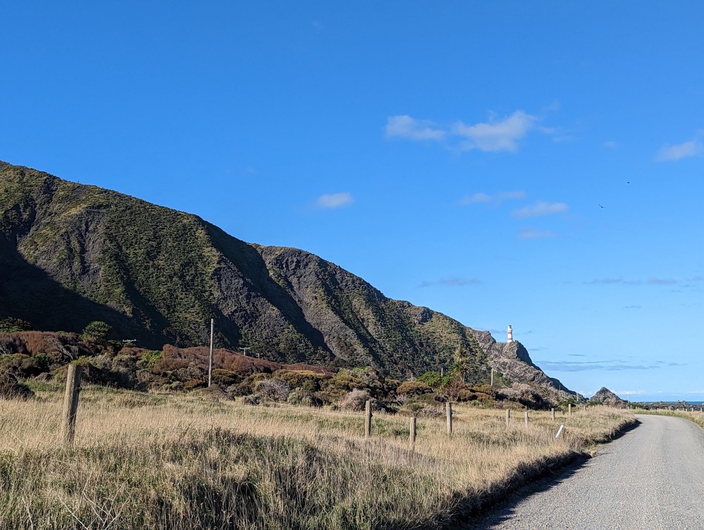
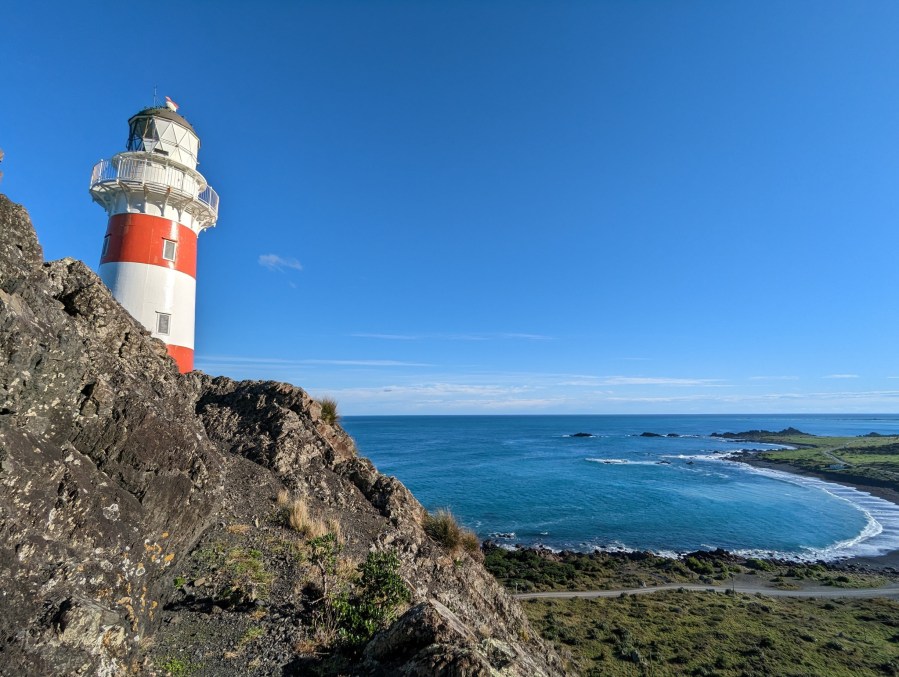
Après ça, on range nos affaires dans la voiture puis on se met en route pour faire le chemin qu’on vient de faire en stop en sens inverse pour aller voir le phare du Cape Palliser. Le point le plus au sud de l’ile du Nord !
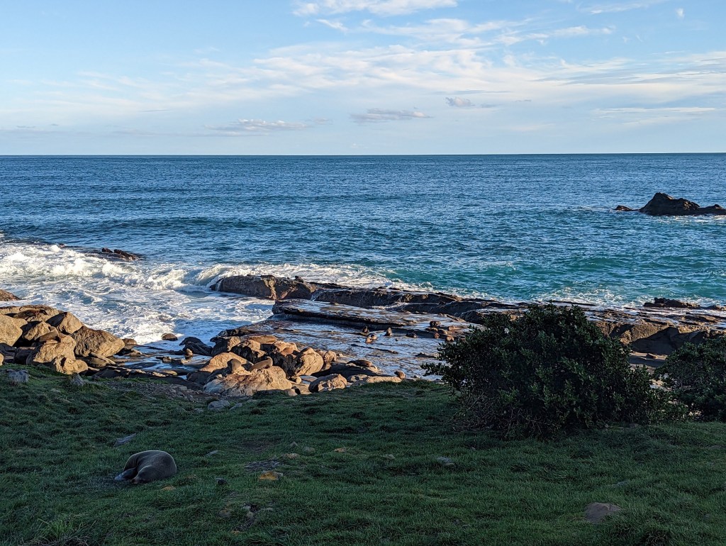
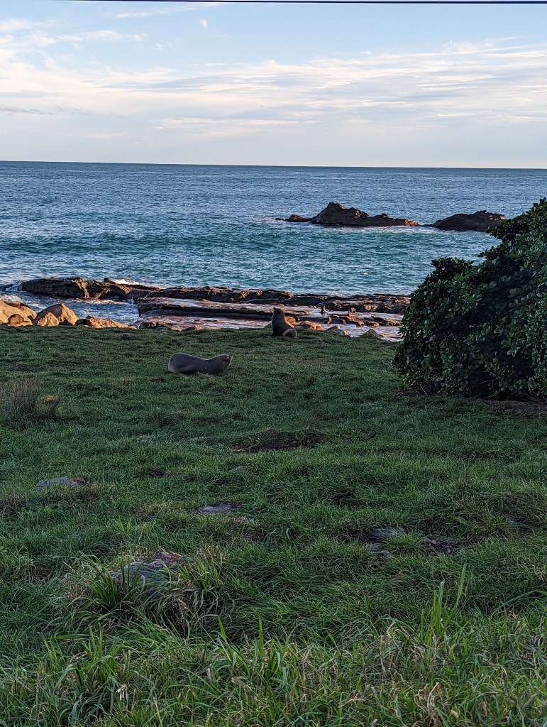
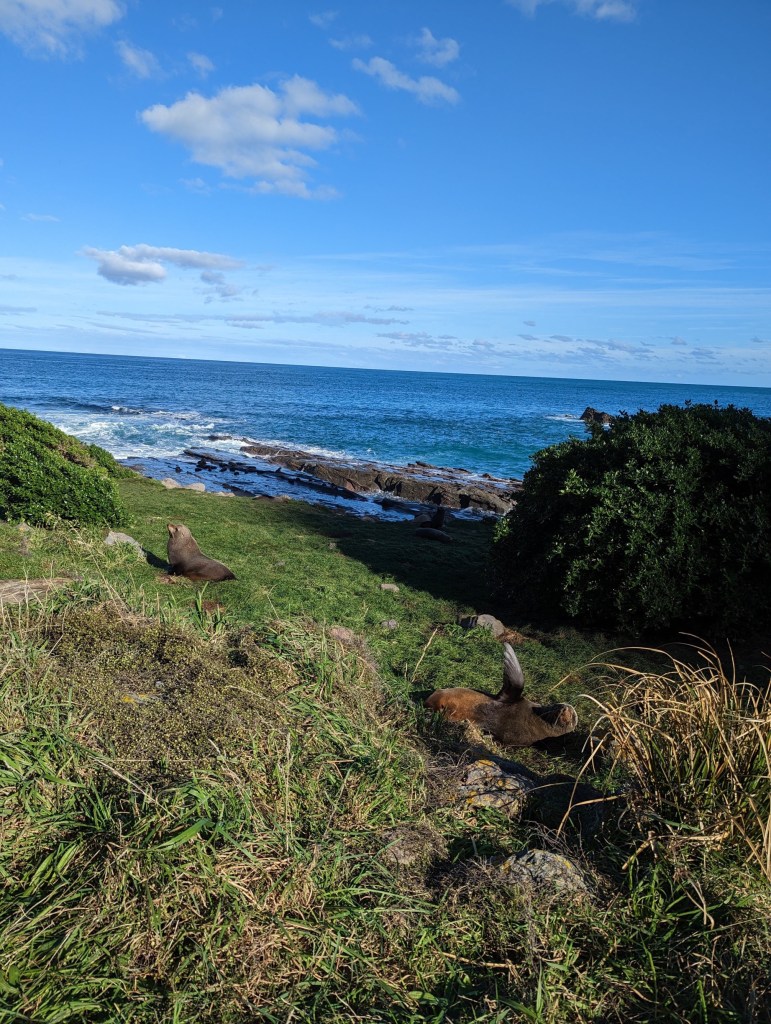
En chemin on tombe sur une énorme colonie de phoques qui se prélassent au soleil. C’est tellement drôle car ils sont vraiment posés partout dans la pelouse au bord de la mer et ils ne semble vraiment pas soucieux des touristes qui les prennent en photo…
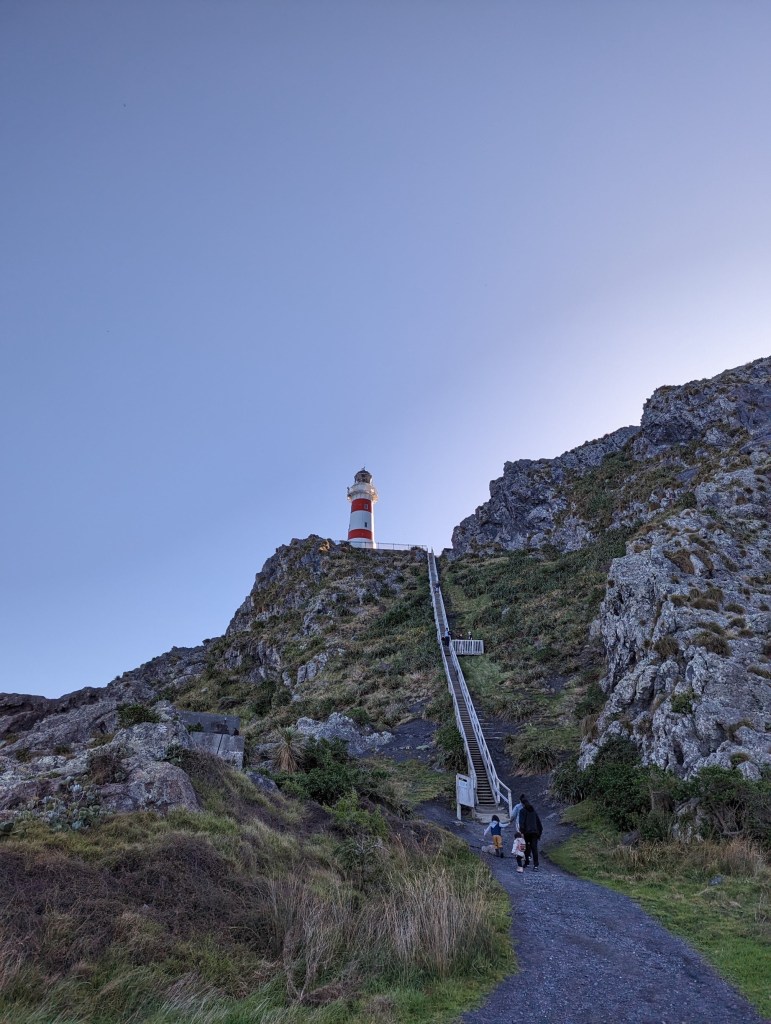
Nous voilà finalement à phare ! Par contre il se mérite celui-là car il y a un escalier extrêmement raide de plusieurs centaines de marches à gravir pour aller admirer la vue. Mais ça en vaut bien la peine, surtout avec notre météo du jour enfin clémente !
We start today by going up the course of a river. The path is rather easy and relatively flat until we come across a huge landslide across the river…
We struggle for a while to find a passage and we almost go the wrong way. Finally, we notice by chance an old rope covered with mud attached to a tree which seems to indicate the road to follow. Fortunately there is this rope as the path is almost vertical there. Once passed the rope, the path continues straight up a dirt slope. We are very happy that it is not raining and that it is dry because, holy shit, it would have been horrible…
But finally we get to the end of it and the path finally turns to take us along the mountain. From there, it becomes a lot more fun and we descend gently on the other side of a pass until we reach the last hut of the crossing: Mangatoetoe Hut. We only stay there for 5 minutes because it’s still early and we can’t wait to finish this little adventure.
But one last “hurdle” awaits us. Once again we have a river to follow but this time the bed is very wide and flat so not too much effort to make. Except for when we have to cross it as we are still not motivated to wet our feet. Thus we sometimes end up throwing big rocks to create steps hahaha. But it works very well!
A little less than 4 hours after starting to walk, we finally arrive at the road along the coast of the island. From there, we start the walk back towards the car. There are technically a good twenty kilometers but we hope to hitchhike before having to walk all that. Moreover, as soon as we arrive on the road, we see not far two fishermen putting away their stuff in their car so we cross our fingers that they’ll come in our direction.
And barely 5 minutes later, these two kiwis stop by us and take us with them. They are super friendly and even go so far as to make a detour of almost 30 minutes to drop us off at our car. The hitchhiking culture is really on another level here. It’s really awesome !
After that, we put our things in the car and then we set off to drive what we just hitchhiked in the opposite direction to go see the Cape Palliser lighthouse. The southernmost point of the North Island!
Along the way we come across a huge colony of seals basking in the sun. It’s so funny because they’re really all over the fields by the sea and they really don’t seem to care about tourists taking pictures of them…
We are finally at the lighthouse! But you gotta deserve this one because there is an extremely steep staircase of several hundred steps to climb to admire the view. But it’s well worth it, especially with our finally good weather today!